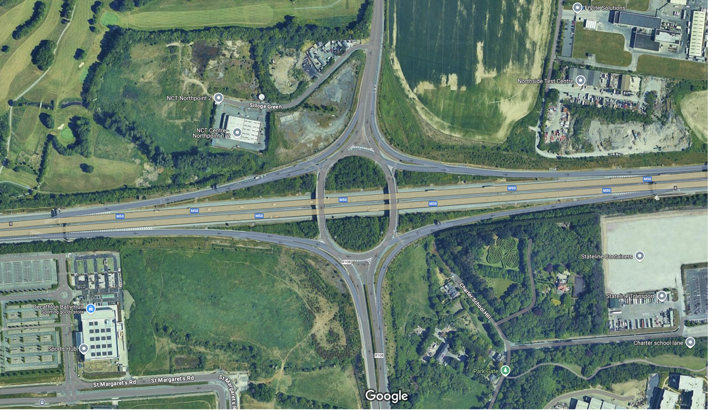
Road Safety Incident Reports
This section provides comprehensive insights into road safety incidents recorded at the motorway junction, specifically focusing on wrong-way driving and vulnerable road user occurrences. Monitoring and analyzing these incidents are crucial for enhancing roadway safety, enabling prompt responses, and implementing effective preventive measures.
- Wrong-Way Driving Incidents: Wrong-way driving poses a significant threat to road safety, often resulting in severe and potentially fatal collisions. These incidents are systematically tracked at each on-ramp and off-ramp to identify high-risk areas and times, facilitating the deployment of targeted detection and warning systems to prevent such dangerous events.
- Vulnerable Road User Incidents: Vulnerable road users, including pedestrians and cyclists, are particularly susceptible to harm in high-speed traffic environments. Recording incidents involving these users at the junction helps in understanding the factors contributing to such occurrences and supports the development of strategies to safeguard these individuals, such as improved signage and barriers.
The charts below illustrate the frequency and trends of these incidents over time across the junction's on-ramps and off-ramps. This data-driven approach assists in identifying patterns, assessing the effectiveness of current safety measures, and highlighting areas that require additional attention to enhance overall road safety.
Temperature
This section provides an overview of the temperature trends measured over time at various locations around the motorway junction. Monitoring temperature is crucial for understanding environmental conditions that may affect road safety, vehicle performance, and overall infrastructure. Temperature data can also offer insights into seasonal variations and their impact on traffic and road conditions.
- Temperature Monitoring: The temperature data displayed here is collected from sensors positioned at four key locations around the junction. These sensors continuously monitor the ambient temperature at these points, which is recorded and averaged over time.
- Impact on Road Conditions: Temperature variations can significantly influence road conditions. For instance, extreme temperatures may affect the durability of road surfaces, leading to wear and tear, while icy conditions during colder months can create hazardous driving conditions.
- Seasonal Trends: The charts below illustrate how temperature fluctuates throughout the year, providing a clear picture of seasonal patterns. These trends can help in planning maintenance activities and preparing for seasonal weather conditions that might impact traffic flow.
The charts below represent temperature data over time for the four sensors located at key points around the motorway junction. Each chart corresponds to a specific sensor, allowing for a detailed analysis of temperature variations across different locations at the junction.
Air Quality
This section provides insights into the air quality levels measured over time across different locations on the motorway. The charts below represent the concentration of various pollutants, which are key indicators of air quality in areas with significant vehicular traffic.
- PM2.5 (Particulate Matter 2.5 µm): PM2.5 refers to fine particulate matter with a diameter of 2.5 micrometers or less. These particles are primarily produced by vehicle emissions, especially from diesel engines, and can penetrate deep into the lungs, posing serious health risks.
- PM10 (Particulate Matter 10 µm): PM10 includes coarser particles, such as dust from roads, tire wear, and brake emissions. These particles can irritate the respiratory system and contribute to various health issues.
- NO2 (Nitrogen Dioxide): NO2 is a gaseous pollutant that results from the combustion of fossil fuels, particularly in vehicle engines. High levels of NO2 are associated with increased respiratory problems and can contribute to the formation of other harmful pollutants like ozone.
- SO2 (Sulfur Dioxide): SO2 is a gas produced by the burning of sulfur-containing fuels, including in some vehicles. It can cause respiratory problems and irritate the eyes, nose, and throat. However, its levels are generally lower in road environments compared to other pollutants.
The charts below display the variations in these pollutant levels over time, helping to understand how air quality changes with traffic patterns and environmental conditions.
Power Generation
This section provides an overview of the power generated by each sensor and the central controller at the motorway junction. Each sensor is equipped with its own solar panel and wind turbine, and the controller is also supported by its own solar panel and wind turbine. These renewable energy sources ensure a continuous power supply, enhancing the sustainability of the system and reducing reliance on external power grids.
- Solar Panels: The solar panels capture energy from sunlight during the day, converting it into electricity that contributes to powering the sensors and the controller. The amount of power generated depends on factors such as the time of year, weather conditions, and the efficiency of the solar panels.
- Wind Turbines: Unlike solar panels, wind turbines generate power both during the day and night. They harness the energy of the wind to produce electricity, making them a reliable source of power regardless of the time of day. Wind turbines are particularly effective during windy conditions, ensuring consistent power generation even when sunlight is insufficient.
The charts below illustrate the power generated over time by the solar panels and wind turbines for each sensor and the controller. By analyzing these charts, you can gain insights into the efficiency of these renewable energy sources and observe how they contribute to the overall energy production of the system.
Road Noise Levels
This section presents the road noise levels measured over time across various locations along the motorway. Road noise is a significant environmental factor, particularly in areas with high traffic density. Understanding noise levels is crucial for assessing the impact of traffic on nearby communities and the overall quality of life.
- Noise Measurement (dB): Noise levels are measured in decibels (dB), a logarithmic unit that quantifies the intensity of sound. The charts below display noise levels over time, indicating the variations in sound intensity experienced near the motorway.
-
Common Sources of Road Noise: The primary contributors to road noise include:
- Cars: Typically produce noise levels ranging from 70 to 75 dB. Noise from cars is continuous and can fluctuate depending on speed, road surface, and traffic volume.
- Trucks and Buses: Larger vehicles like trucks and buses generate higher noise levels, often between 80 to 90 dB. These vehicles contribute to more significant noise peaks, especially during busy traffic hours.
- Tire and Engine Noise: The interaction between tires and the road surface generates noise, particularly at higher speeds. Engine noise, especially from older or poorly maintained vehicles, also contributes to overall road noise levels.
- Impact of Road Noise: Prolonged exposure to high levels of road noise can lead to various health issues, including stress, sleep disturbances, and even cardiovascular problems. Monitoring road noise is essential for implementing measures to reduce its impact on nearby residential areas.
The charts below provide a visual representation of road noise levels over time, helping to identify patterns and peak periods that may require noise mitigation strategies.
Traffic Flow Data
This section provides detailed insights into the traffic flow patterns at the junction of the motorway, focusing on the on-ramps and off-ramps on both sides of the road. Understanding traffic flow at these critical points is essential for managing congestion, ensuring safety, and optimizing the efficiency of the motorway network.
-
Vehicle Types: The charts below categorize the traffic flow by different types of vehicles, which include:
- Cars: The most common vehicles on the motorway, cars play a significant role in overall traffic volume. Monitoring their flow on and off the ramps is crucial for assessing congestion and traffic patterns at the junction.
- Motorbikes: Although fewer in number, motorbikes can impact traffic dynamics due to their ability to maneuver through congested areas, especially on ramps where space may be limited.
- Buses: Buses are key in public transportation, and their flow on and off the ramps can affect overall traffic, particularly during peak hours when they operate more frequently.
- Trucks: Trucks, including both light and heavy-duty vehicles, are essential for freight transport. Their movement on and off the motorway ramps can significantly influence traffic flow, especially given their size and slower speeds.
- Traffic Flow Patterns at Junctions: Traffic flow at motorway junctions, particularly on-ramps and off-ramps, is dynamic and varies throughout the day. For example, morning rush hours may see higher volumes of vehicles merging onto the motorway via on-ramps, while evening hours might have more vehicles exiting via off-ramps. Understanding these patterns helps in managing traffic more effectively and in planning infrastructure improvements.
- Implications of Traffic Flow Data: By analyzing traffic flow data at the junction's ramps, we can make informed decisions about road design, traffic light synchronization, and other measures to reduce congestion and improve safety. This data is also valuable for identifying peak traffic periods and potential bottlenecks, allowing for more effective traffic management strategies.
The charts below provide a visual breakdown of traffic flow, illustrating the number and types of vehicles using the on-ramps and off-ramps on both sides of the motorway over time.